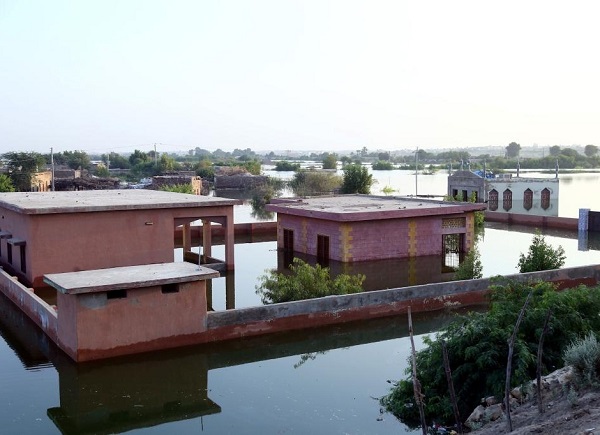
Islamabad, (Asian independent) After weeks of torrential monsoon rain, Pakistans largest freshwater lake started overflowing in early September, putting thousands of people at risk of losing their homes, new satellite images showed.
The images, captured by NASA’s Landsat 8 and Landsat 9 satellites, show breaches in the banks of Manchhar Lake, some of which have been made intentionally by local authorities to prevent the over-filled lake from spilling into densely populated areas in the Indus River Valley, Geo News reported.
The images show the pre-flood situation on July 25 and then detail the growing extent of the flooding on August 28 and September 5.
Some 100,000 people living in several hundred villages scattered across the valley are at risk of flooding due to the breaches, NASA officials wrote in a statement, Geo News reported.
The floods, described as Pakistan’s worst in at least a decade, have killed more than 1,300 people and injured thousands more.
Over 1 million homes have been destroyed, and hundreds of thousands of people are currently displaced.
Sindh, where Lake Manchhar is located, is one of the most severely affected by the flooding.
The area has already received five times its average annual rainfall this year, NASA said in the statement.
More rain is likely in the coming days, according to the UK weather forecaster Met Office.
The government declared a national emergency on August 30, asking for international support to deliver food, drinking water, health supplies, and assistance to the affected communities.


